Obligations, deadlines and practical preparation for operators, infrastructure owners, municipalities and public authorities.
How agglomerations are delineated
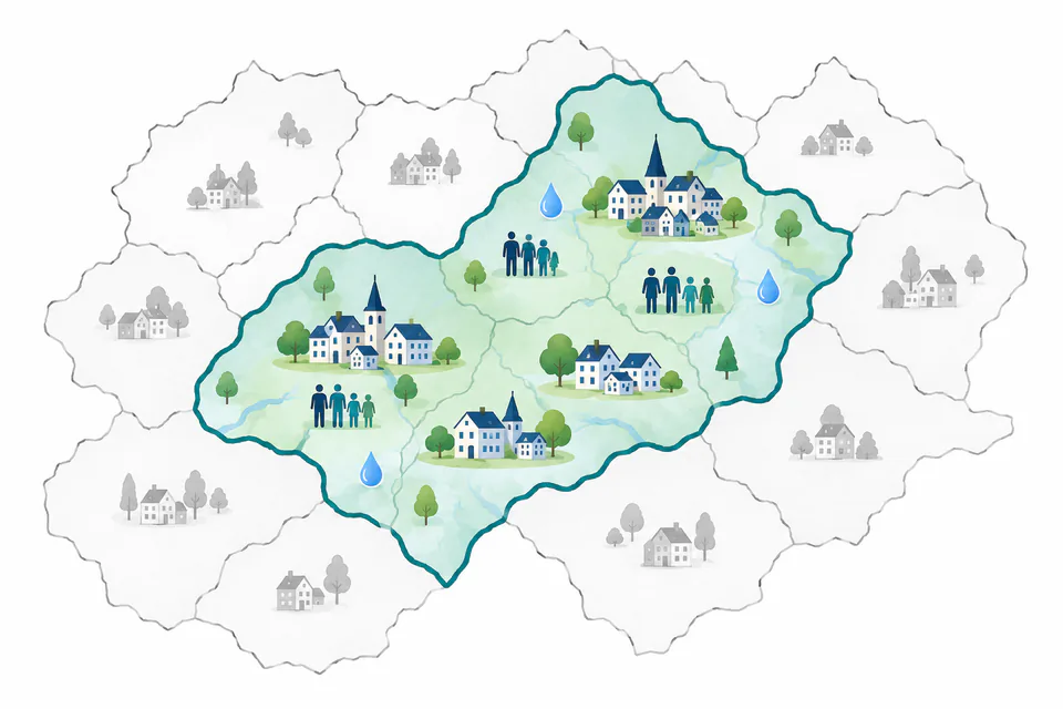
An agglomeration boundary is based on the amount of pollution generated in a location and its relationship to wastewater collection, rather than simply copying municipal administrative borders.
An agglomeration is not a municipality
An agglomeration is an area where population or economic activities are sufficiently concentrated for it to be economically and technically meaningful to collect urban wastewater and convey it to a treatment plant or final discharge point. Its boundary therefore need not follow municipal borders.
European water protection — how do directives and river basin plans fit together?
River basin plans are the central coordinating tool for water protection, translating the objectives of European directives into concrete, spatially coordinated measures within individual river basins.
Select a document in the map or a relationship below it. The explanation panel identifies your selection and shows how the documents are connected.
Information also flows back: monitoring shows whether measures are working and informs updates to river basin plans.
Selected relationship explained
Urban wastewaterDrinking water
Why do drinking-water sources matter for WWTP requirements?
(EU) 2024/3019 · (EU) 2020/2184
Urban wastewater can introduce nutrients, pathogens, micropollutants and other substances into abstraction catchments. The UWWTD explicitly addresses this relationship through risk management.
What this means
Abstraction catchments are provisionally included among areas at risk from micropollutants unless a risk assessment demonstrates otherwise.
Permitting industrial wastewater discharges to sewers must take risks to abstraction catchments into account.
Article 18 requires an assessment of urban wastewater impacts on water used for drinking-water abstraction.
Outcomes may include prevention at source or stricter wastewater treatment.
Legal references and source
Articles 8, 14 and 18 of the UWWTD in conjunction with Article 8 of Directive (EU) 2020/2184.